 |
The proposed route that Debbie and I are planning on taking has been well
travelled over the last few years. A person could almost travel the
route without a GPS and mapping software. However, the technology is
available so we will be using it. We are using the following software packages :
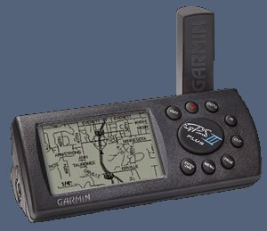
Garmin MapSource |
The following screenshots show the various software packages available.
|
|
|
|
|
|
Garmin MapSource |
Tracks4Africa Map |
Img2GPS Software |
)
)
)
Waypoint Workbench - a very handy Excel spreadsheet which calculates and converts GPS waypoints
We will be taking a number of books and maps with us - click on each book to visit the Africa Overland Network book page.

)