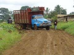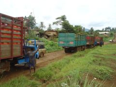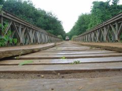
Hoping the worst of the roads were behind us, we soon realised that there
were more to come! Making way for a group of lorries, one of them lost
traction and slipped into the side ditch. There was a commotion between
the other drivers as they tried to pull the lorry out of the slippery
ditch. See video clip for action!
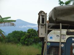
Persevering with the treacherous road, we were soon rewarded with stunning scenery of lush jungle and the majestic Mt Cameroon (4,098m).
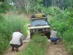 Another 'Camel Trophy' photo |
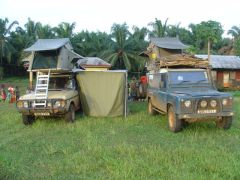 Pamol palm-oil farm |
Between the two vehicles, we have four sets of maps - but only one map, the French IGN map of Cameroon had a road between the towns of Mbonge and the coastal town of Idenao. We decided that this was the route we would take...
Using the GPS Track-Log function and the digital IGN map, we overlayed our route onto the map. Our route, in red below, tracked us neatly along the French map. Its a great route but is limited to vehicles under 7 Tons. Initially the road was a mud pond (see pics above) but eventually narrowed to a single lane through high Elephant grass.
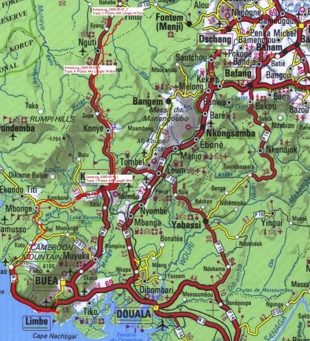
Our route (in Red) from Mbonge (centre left) South to Limbe
